Rabun Gap, GA
Rabun Gap, GA
Latitude: N 34.95918° (N)
Longitude: 83.36274° (W)
Combined: N 34.95918° W 83.36274°
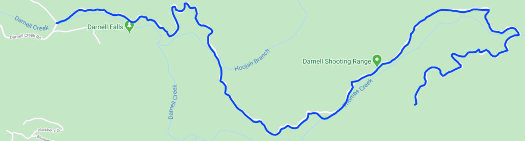
US Forest Service Chattooga River District
Road Data:
USFS Rating: 2 – High Clearance Vehicles
Length: 4.68 miles
Notes:
■ The road is partially gravel but it gets rough in places. Not suitable for a non-4×4 vehicle. Moderate to high clearance suggested
■ The Darnell Creek Shooting Range is approximately 3 miles from the start of the road. It is a basic range with a couple of picnic tables. Bring your own target stands and materials to attach the targets to the stand
■ The Darnell Creek Shooting Range is located at N 34.95918° W 83.36274°