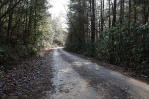
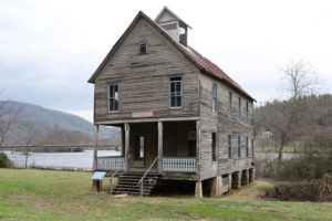
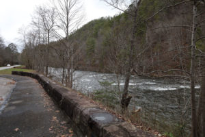
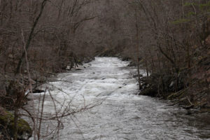
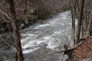
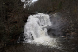
This route starts in downtown Ellijay, GA and travels across several Forest Service Roads to Ocoee, TN. From Ocoee it travels across a mix of paved and Forest Service Roads to Tellico Plains, TN. From Tellico Plains it travels along the beautiful Tellico River on Forest Service Road 210 (Tellico River Rd) and then to Murphy, NC and back to the starting point in Ellijay. Check out the photos below the map as well!
You can download the track of my trip and import it into your GPS or mapping program in KML or GPX format. Please note that that the entire route shown in the Google Map below is not included in these KML/GPX files. My route stops at the end of Forest Service Road 210 – Tellico River Rd. It started snowing the day that I did this trip and I had to turn back at the end of Tellico River Rd and did not complete the route through Forest Service Road 420-1 (Davis Creek Rd), Hanging Dog Rd or Unicoi Turnpike and Highway 74. The route will appear as half of the full loop when you import it into your device or program.
Please check the status of any Forest Service Roads that you plan to travel on prior to starting your trip. Visit the USFS Interactive Visitor Map and choose the search icon in the box at the top of the page and enter the name of the Forest Service Road. Click on the road name in the results and then click the map marker icon to view the details for the road. Responsible use will benefit all of us so the roads can be properly maintained and open for our enjoyment.
Make sure you take some time to stop along the following points on interest along the way:
■ Barnes Creek Falls & Picnic Area
■ Mill Creek Scenic Overlook
■ Cottonwood Patch Campground
■ Conasauga River Snorkeling Hole
■ Tellico River Overlook
■ Bald River Falls on the Tellico River

