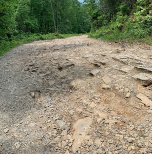
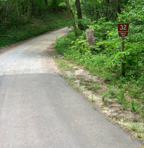
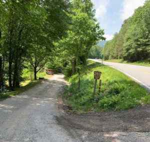
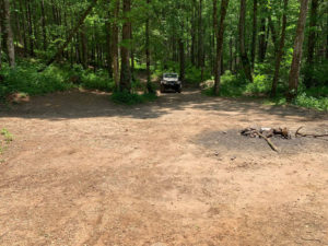
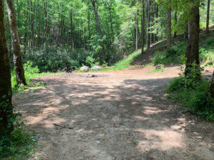
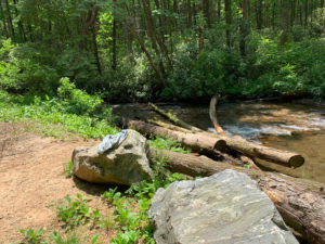
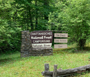
This route starts in Dillard, GA and travels over 5 US Forest Service and paved roads to Helen, GA and is 46.87 miles long. The Google Map below also includes a number of points of interest such as a fun (rocky) hill climb (34.95823, -83.60152) and water ford (34.95083, -83.55275) on Forest Service Road 72 – Charlies Creek Rd, scenic areas, waterfalls and campgrounds. Also check out the red pin marked ‘Tallulah River Rd Jeep Trail’! The pins for FSR 283 – Indian Grave Gap Rd, FSR 72 – Charlies Creek Rd, FSR 32 – Patterson Gap Rd, Old Hightower Rd Campground and Tallulah River Campground include photos as well.
Please check the status of any Forest Service Roads that you plan to travel on prior to starting your trip. Click any of the links for the Forest Service roads below or visit the USFS Interactive Visitor Map or USFS Forest Service Roads (Google Maps) and choose the search icon in the box at the top of the page and enter the name of the road. Click on the road name in the results and then click the map marker icon to view the details for road. Responsible use will benefit all of us so the roads can be properly maintained and open for our enjoyment.
US Forest Service Roads:
■ FSR 32 – Patterson Gap Rd (Open Yearlong)
■ FSR 79 – Tallulah River Rd (Open Yearlong)
■ FSR 72 – Charlies Creek Rd (Open Yearlong)
■ FSR 283 – Indian Grave Gap Rd (Seasonal 3/17 – 12/31)
■ FSR 79 – Tray Mountain Rd (Open Yearlong)

