Location / Coordinates
N 34.52795°W 83.43354°
Forest Service Road 92B in Lake Russell WMA
(Browns Bottom Rd)
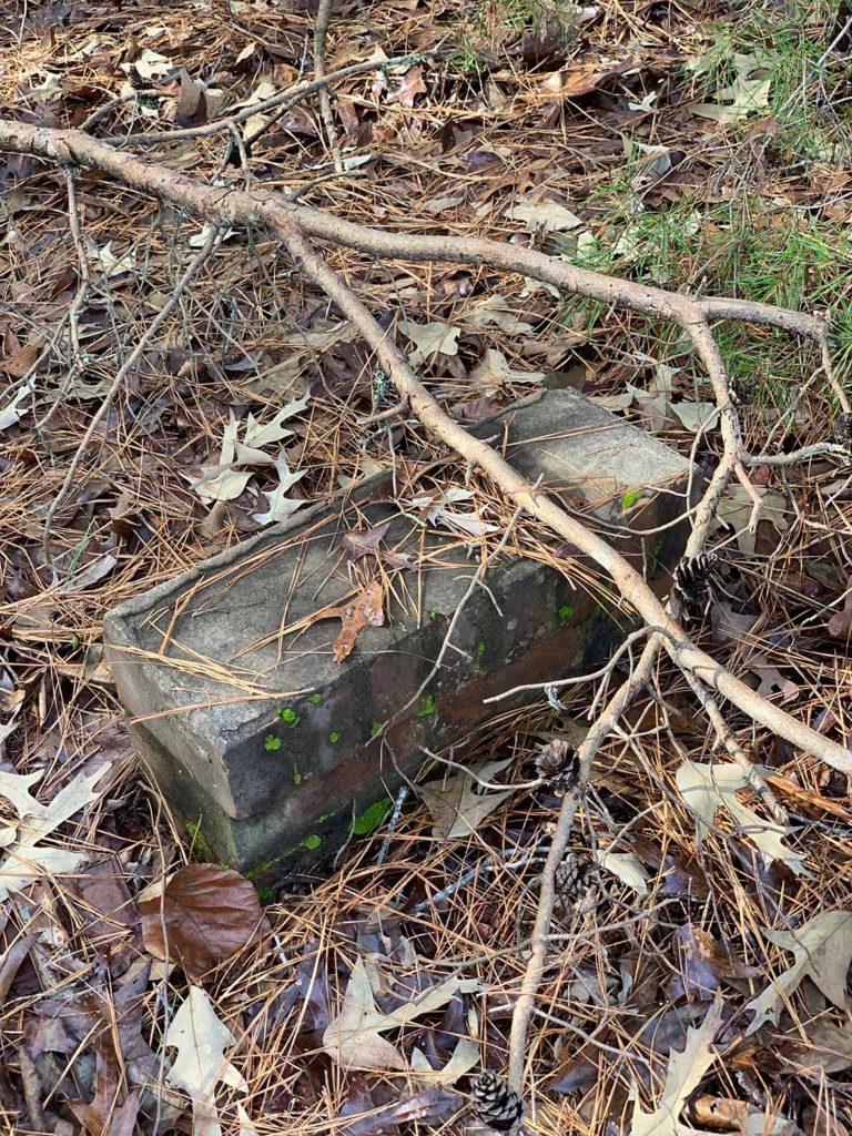
The homesite of William Preston (WP) Brown is located within the Lake Russell Wildlife Management Area (WMA) in Cornelia/Toccoa (Stephens and Habersham counties) of off Forest Service Road 92B (Browns Bottom Rd). Today the historic homesite is mostly leaves, dirt and kudzu, but it leaves behind an interesting history.
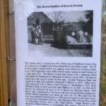
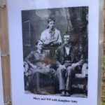
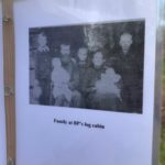
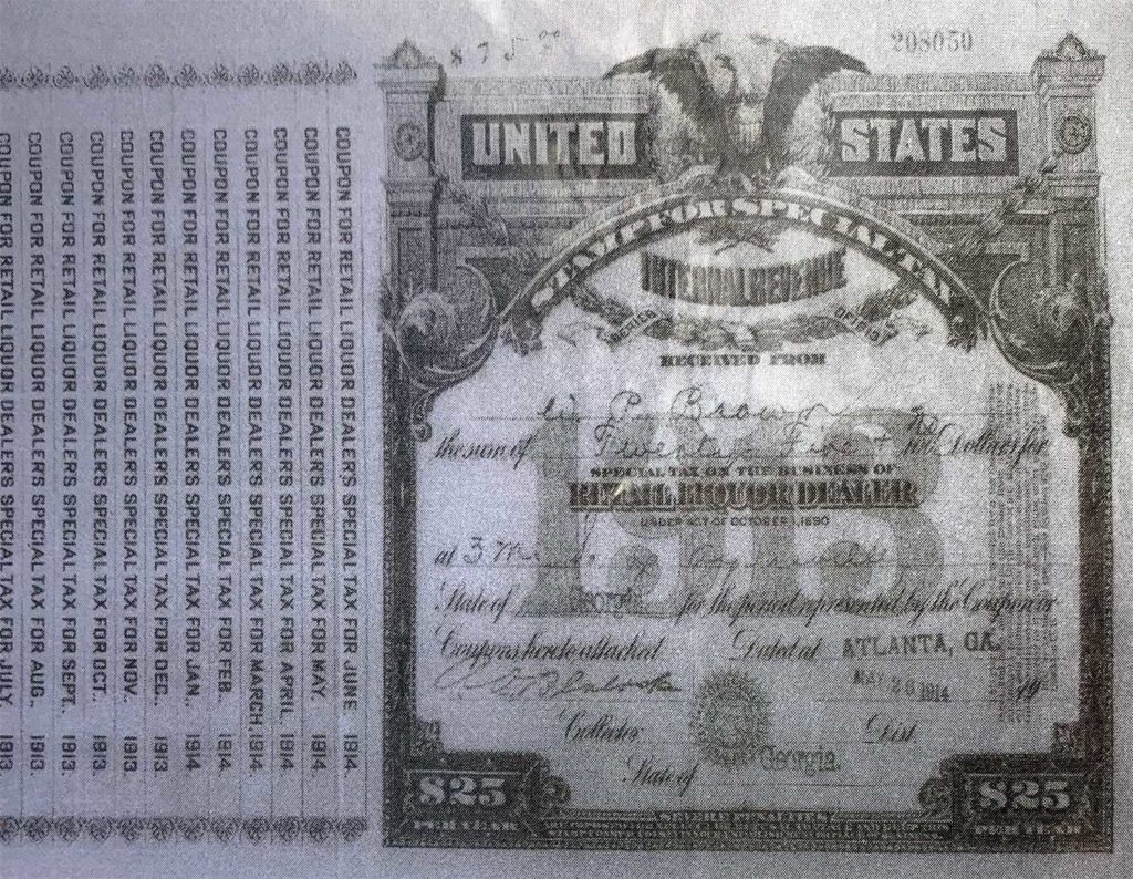
WP was a respected and active member of the Mountain Grove community that existed within the Lake Russell WMA. He was known for his hard work farming the land of Browns Bottom and for operating a syrup mill and a legal (pre-prohibition) whiskey still down by the stream at his syrup mill site. He died at age 96 (1865 – 1962) and was married to Mary Farmer Brown (1868 – 1946).
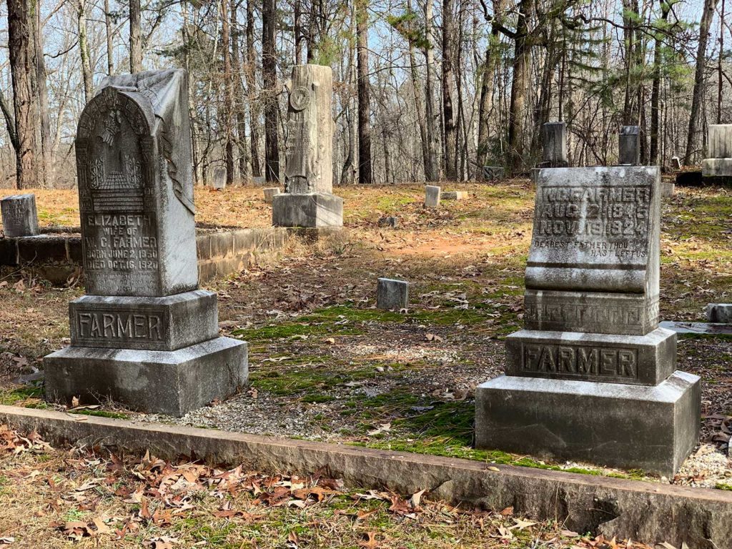
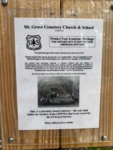
Many of the Farmer family are buried in the Mountain Grove Cemetery which is also located at the intersection of Forest Service Roads 92 and 92B within the Lake Russell WMA. WP and Mary raised 9 children at this homesite.
WP was a respected and active member of the Mountain Grove community that existed within the Lake Russell WMA. He was known for his hard work farming the land of Browns Bottom and for operating a syrup mill and a legal (pre-prohibition) whiskey still down by the stream at his syrup mill site. He died at age 96 (1865 – 1962) and was married to Mary Farmer Brown (1868 – 1946). Many of the Farmer family are buried in the Mountain Grove Cemetery which is also located at the intersection of Forest Service Roads 92 and 92B within the Lake Russell WMA. WP and Mary raised 9 children at this homesite.
Quick history lesson on the Four Mile Purchase Treaty (I had to look it up) is below. Thanks to this article for the history.
Col. William Wofford and Jacob Hollingsworth moved from North Carolina to Franklin County, GA in 1972. They established a settlement which was known at Wofford’s Settlement. The property lines of this settlement were surveyed and it was determined that Wofford’s Settlement was considered to be within the territory of the Cherokee Indian nation.
Col. Wofford petitioned then Georgia Governor James Jackson to have the property lines re-drawn or provide some type of protection for Wofford and Hollingsworth and their possessions from Cherokee Indian raids. This ultimately resulted in an agreement where the United States agreed to pay the Cherokee Indian Nation $5,000 and $1,000 per year for the property rights to a tract of land that was 4 miles wide and 23 miles long. It extended from the Habersham – Banks County line on Baldwin Mountain to Line Baptist Church on old Hwy. 441, then from Currahee Mountain to the South Oconee River. This was known as the “Four Mile Purchase” of 1804.
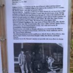
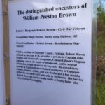
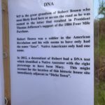
WP Brown was the great-grandson of Robert Brown. Robert was mentioned in a letter that ultimately influenced then president Thomas Jefferson’s support of the Four Mile Purchase. It is thought that Robert and his wife Jane lived either at the WP Brown homesite or across the road (Forest Service Road 92B). It is also thought that Jane was possibly an Indian as Native Americans only had one name.
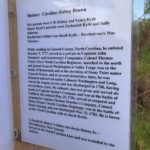
Both WP and his wife Many had great grandfathers that were veterans of the Revolutionary War. Robert Brown enlisted in 1776 and fought in the battle of Monmouth and the battle of Stony Point under George Washington. Mary’s grandfather Jacob Kytle also fought in the Monmouth and Stoney Point battles plus the battles of Guilford and Eutaw Springs. WP’s father Benjamin Pollard Brown was a Civil War veteran as well.
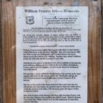
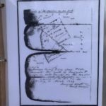
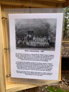
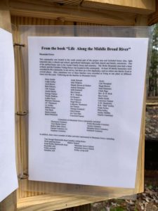
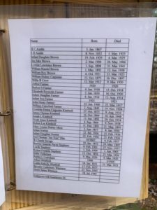
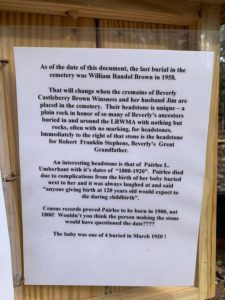
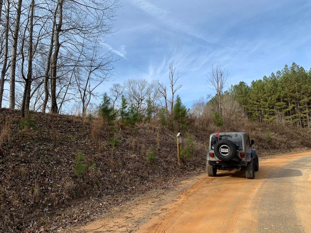
The US Forest Service has installed a place marker (you can see it in the photo at the top of the post to the left of my Jeep) that includes information about the homesite and WP’s family history (which is the source for this post). The photos below are of each page that is included in the place marker.

